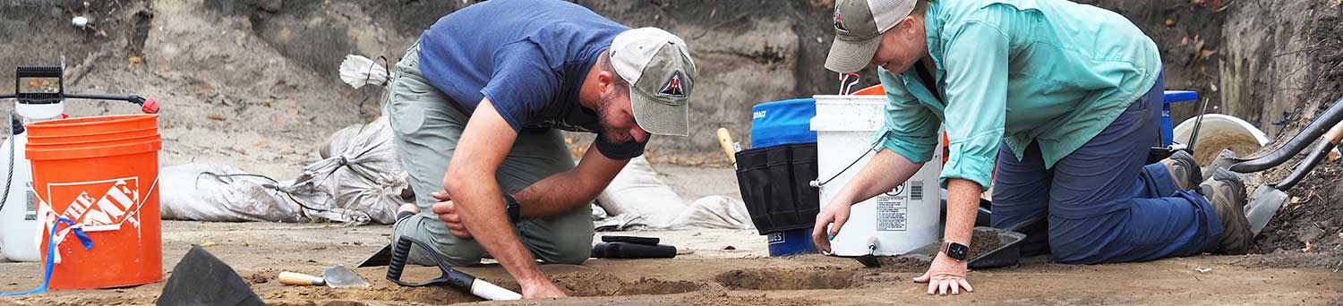
The Center for Archaeological Studies conducts archaeological research, teaching, and public service in the north-central Gulf Coast region. The Center promotes the archaeological study and appreciation of the region's prehistoric and historic past; disseminates to the public information about the region's archaeology; and preserves archaeological evidence of the region's past for future study, use, and enjoyment. The Center involves students in research projects, providing hands-on experience in archaeology.
Our staff has carried out over 1,000 survey and excavation projects during the last thirty years. Ground-breaking research at sites like Old Mobile and Port Dauphin revealed much about Alabama's earliest colonial history. The rapid pace of modern development has also led us to study sites like Bottle Creek, the Exploreum, and Dog River Bridge, where Indigenous People, French, British, Spanish, and Early American settlers left their marks on the landscape.


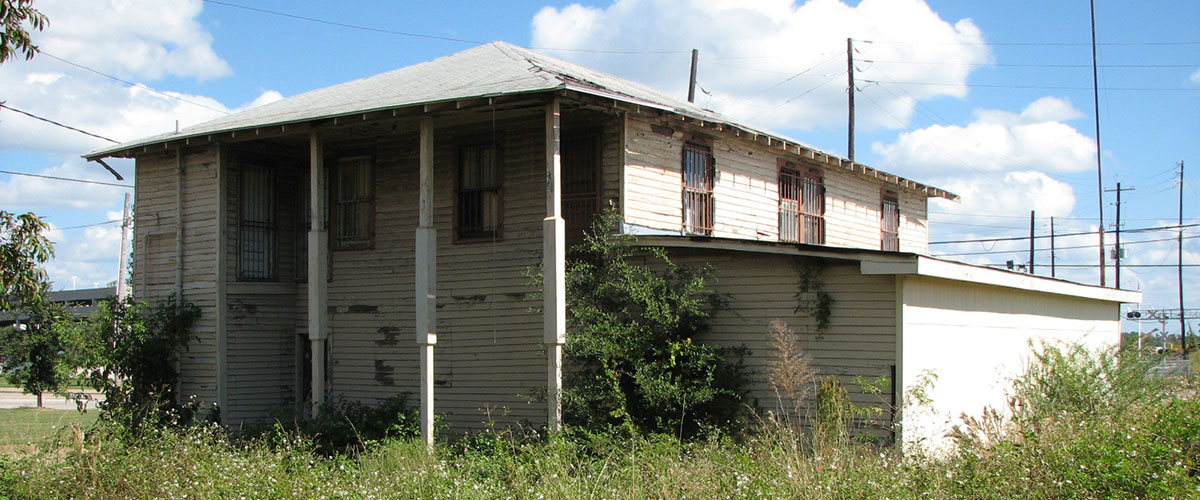 Union Hall History
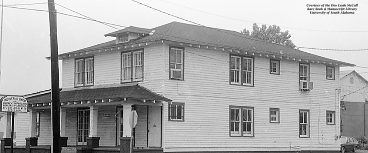 Shipbuilders Local 18 Labor Union
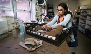
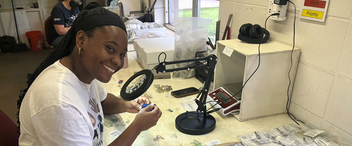 Archaeology Open House Showcases the Dig