USA Meteorology Synoptic Map Page
All links will open in a new window
|
Latest Images - Click on a thumbnail or link to view the full image
|

250 mb 00z |

250 mb 12z |

300 mb 00z |

300 mb 12z |
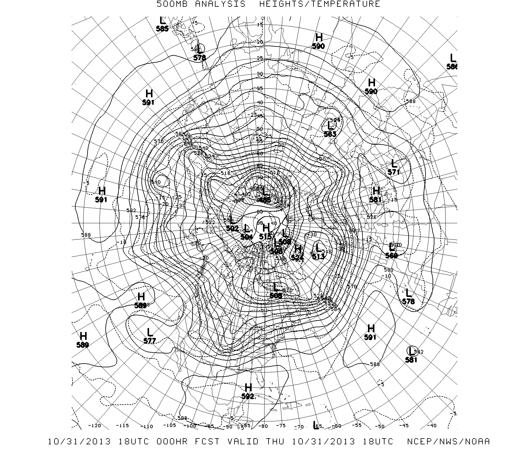
500 mb Hem [NWS1|NWS2|Can] |

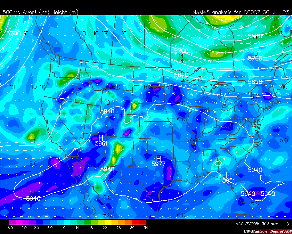
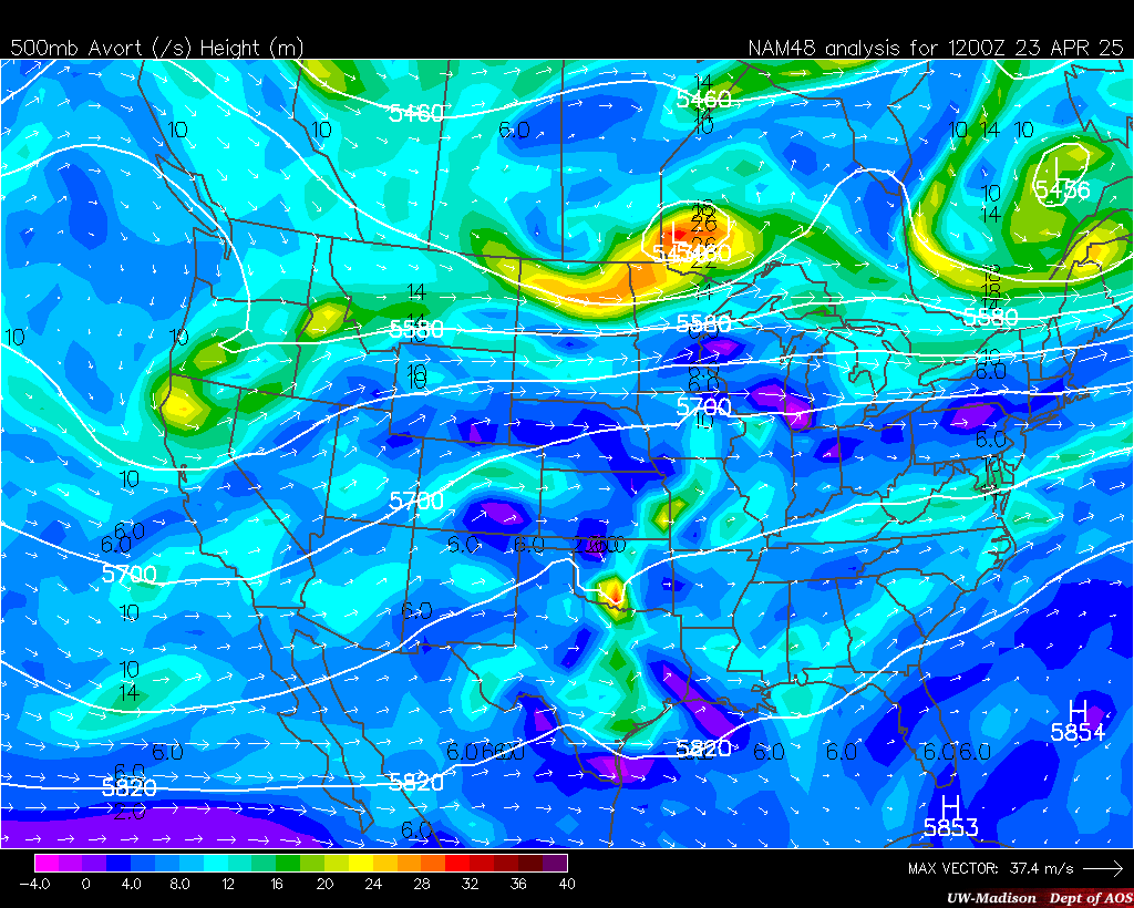
500 mb [USA|NWS] |

700 mb [USA|NWS] |

850 mb [USA|NWS] |

24-hour Min Temp |

24-hour Max Temp |

24-hour Rainfall |

24-hour Snowfall |

Radar [USA|NWS] |

United States Surface |
00z NAM |
12z NAM |
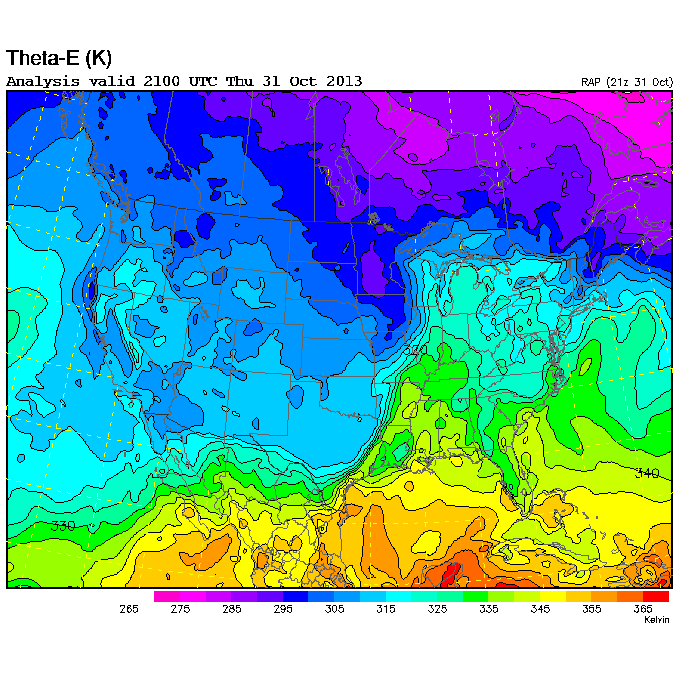
Theta-E |
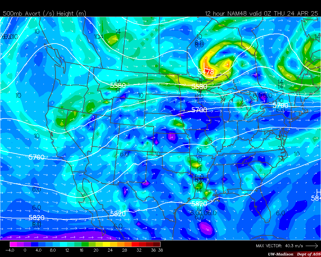
12-hour NAM Forecast |
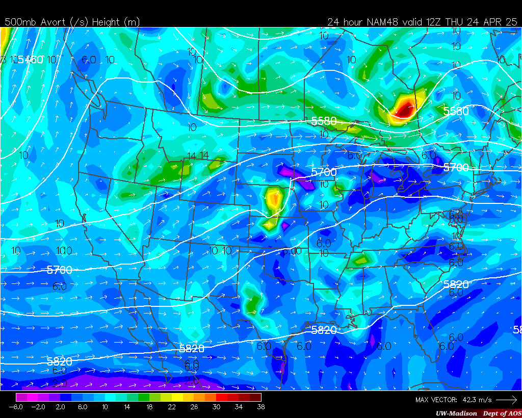
24-hour NAM Forecast |
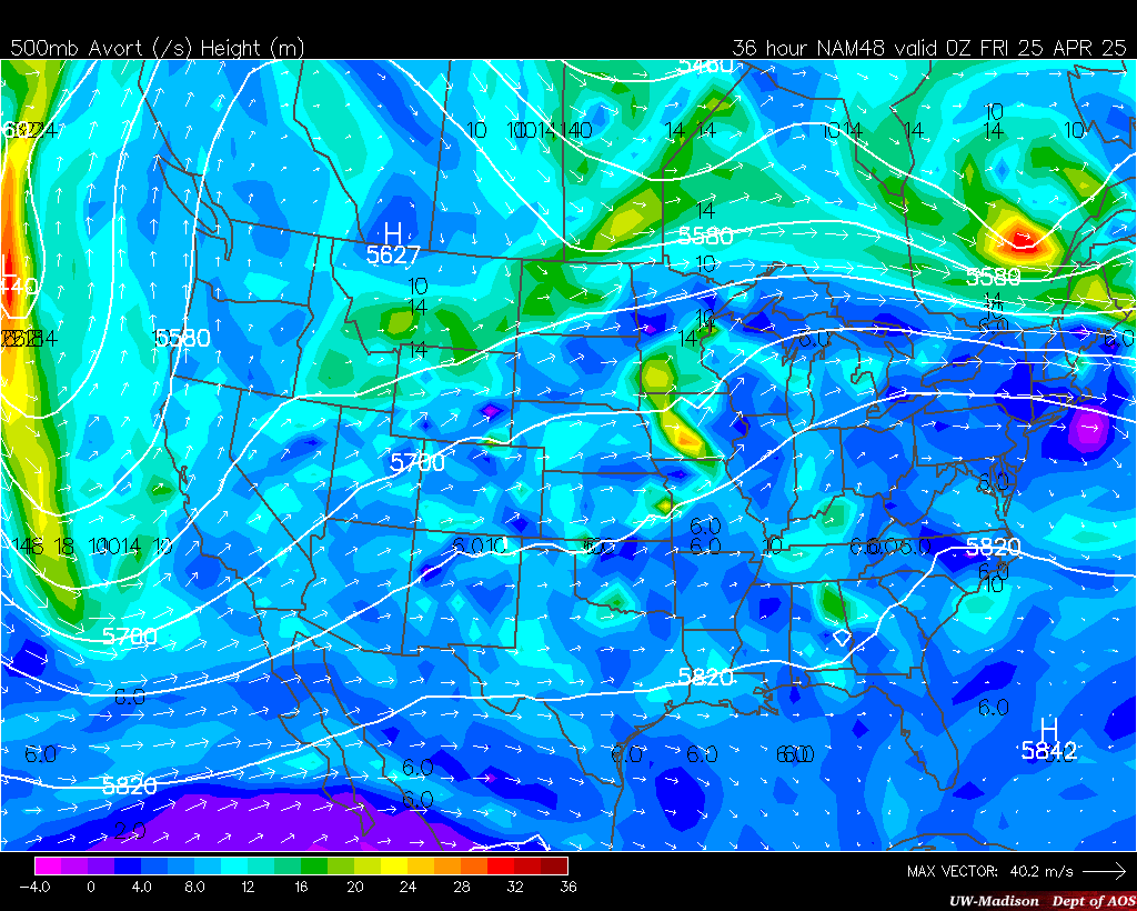
36-hour NAM Forecast |
|
COD Isentropic Analysis |
Continental U.S.
280 K Surface
285 K Surface
290 K Surface
292 K Surface
294 K Surface
296 K Surface
298 K Surface
300 K Surface
305 K Surface
310 K Surface
| Cross Sections
Albuquerque, NM - Nashville, TN
Corpus Christi, TX - Riverton, WY
Del Rio,TX - Bismarck, ND
Riverton, WY - Detroit, MI
Slidell, LA - Green Bay, WI
.
.
.
.
. |
|
|
Unit Conversions
|
Temperature
Enter a value and click "Submit".
Code courtesy of Kai Yuet.
Wind Speed
Enter a value, select units, and click "Convert".
Adapted from Tim Brice and Todd Hall from NWS El Paso, TX.
|
|
|