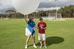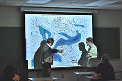
The University of South Alabama offers a Bachelor of Science in Meteorology that prepares students for a variety of professional careers. Students who major in meteorology have the opportunity to experience real-time weather operations first-hand at the on-campus Alabama Power USA Coastal Weather Research Center, a fully-operational, state-of-the-art facility unique for any college in the nation. The center provides a variety of weather information to businesses, industries and municipal governments across the region.
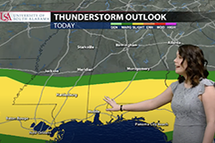
Meteorology students choose from three speciality tracks. The professional meteorology track prepares students for employment with the National Weather Service, the military or employment with private weather forecasting services. Students who prefer a career in radio and television can select the broadcast meteorology track. The graduate school track is available for students who would like to further studies above the undergraduate curriculum.