Archaeological Mapping Exercise
Everyone knows that archaeologists dig carefully, but not everyone is exactly sure why. Some believe it is so things will not be damaged and others to insure that no artifacts are missed, but the main reason is to recover artifacts in situ. This is a strange term which means the place at which an artifact is first found during excavation. An artifact that is in situ is said to be in place and archaeologists excavate carefully in order to identify artifacts in situ and record the exact location.
Archaeologists record in situ artifacts in several ways, including photos and forms, but making a map is one of the standard methods. The map is useful because it is a scale drawing that shows associations between the artifacts recovered in situ during an excavation.
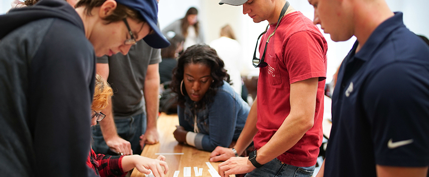
In order to convey these points to youngsters, we have developed a simple exercise that is fun and informative. We take a large sheet of paper that comes in a roll that is almost a meter wide and cut out meter sections. This represents our 1x1 meter units in which archaeologists typically excavate. Instead of digging in our unit, the participants, 2-4 per unit, draw artifacts they think they might find. The next step is to take a piece of graph paper and draw a 1 x1 meter unit to scale showing a north arrow and scale. Meter sticks that are graduated in one centimeter increments are then used to measure in the center of the drawn artifacts. This center point is then placed on the map. The size of the draw artifact is measured and then this information is used to complete a scaled representation of the artifact on the map. Having each child do this in turn for one or more of their artifacts is usually sufficient for them to master the method. They are often amazed at how closely their graph paper map matches their unit!
We often end explaining that when archaeologists excavate a unit, they destroy it so that making maps is an important source of scientific data for future study. We have successfully used this exercise with students as young as 3rd graders and as advanced as college students.